
⚡
Presentation
I offer professional services for your academic and professional projects, combining scientific rigor and advanced technical skills:
📄 Data Writing and Analysis
· Writing of reports, dissertations and theses (social sciences, environment, geography, etc.)
· Statistical data processing and analysis with RStudio (modeling, testing, visualization)
· Synthesis and interpretation of results for publications or presentations
🌍 Mapping and Remote Sensing
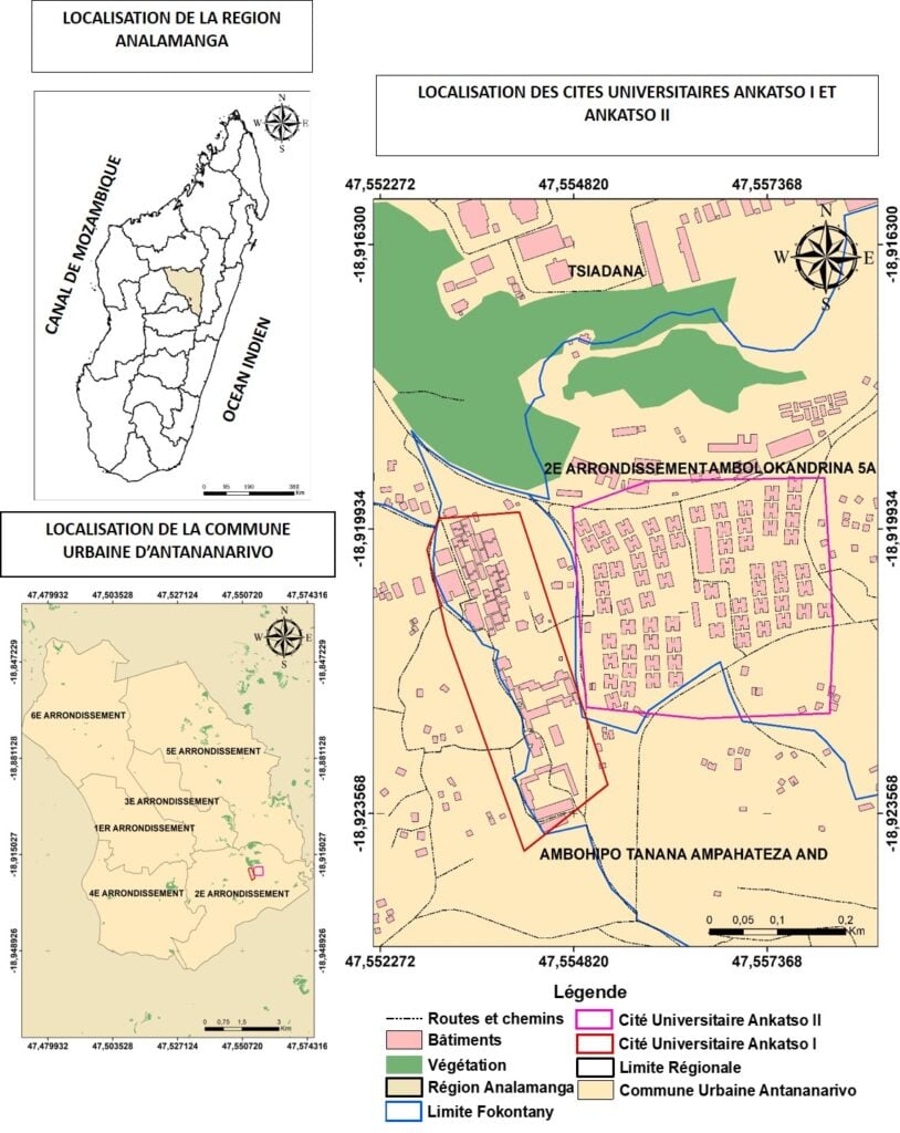
· Creating thematic maps on ArcGIS
· Satellite image processing and spatial analysis on Google Earth Engine (GEE)
· Design of zoning, hazard, natural resource, or demographic maps
🔧 Methodology:
· Careful delivery in accordance with your requirements (academic standards, graphic charters)
· Regular communication and timeliness
· Modular service: one-off support or complete project (from data collection to final delivery)
📩 Contact me to discuss your project, I will answer you within 24 hours.
📄 Data Writing and Analysis
· Writing of reports, dissertations and theses (social sciences, environment, geography, etc.)
· Statistical data processing and analysis with RStudio (modeling, testing, visualization)
· Synthesis and interpretation of results for publications or presentations
🌍 Mapping and Remote Sensing
· Creating thematic maps on ArcGIS
· Satellite image processing and spatial analysis on Google Earth Engine (GEE)
· Design of zoning, hazard, natural resource, or demographic maps
🔧 Methodology:
· Careful delivery in accordance with your requirements (academic standards, graphic charters)
· Regular communication and timeliness
· Modular service: one-off support or complete project (from data collection to final delivery)
📩 Contact me to discuss your project, I will answer you within 24 hours.
🖼️
Portfolio
🛠️
Offered services
📋
Background
Master
I have a Master 2 in plant biology at the University of Antananarivo
🇫🇷French
🕐
Working hours
Monday
From08h00To18h00
Tuesday ▪ Today
From08h00To18h00
Wednesday
From08h00To18h00
Thursday
From08h00To18h00
Friday
From08h00To18h00
Saturday
Closed
Sunday
Closed
⭐
Reviews
Please sign in as a customer to give your feedback
💬
No reviews yet.
Be the first to share your experience with this professional.