
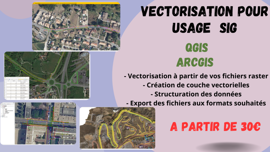
I will vectorize your maps or plans for GIS use in ArcGIS or Qgis
📍 Remote · · 🕒 11 months ago
30 $
⚡
Service overview
I will vectorize your maps or plans for GIS use (Arcgis, Qgis)
Are you short on staff or time when you want to work with scanned plans, old maps, PDFs, or raster images that you want to convert into actionable, reliable, and structured GIS vector layers?
Do you need a qualified and serious service provider for your projects, without having to spend an excessive budget?
To obtain quality work, I am ready to take charge of the realization of your plan and project at an unbeatable price and in record time!
Attentive, responsive, and solution-oriented, I accompany you every step of the way.
With my GIS skills, I can help you create accurate and detailed plans for your projects. Whether it's a basic plan, a thematic plan, a development plan or an urban planning plan, I am here to help you make your design a reality.
As a service, I offer:
- Trace from your raster files (JPEG, PNG, PDF, TIFF, etc.)
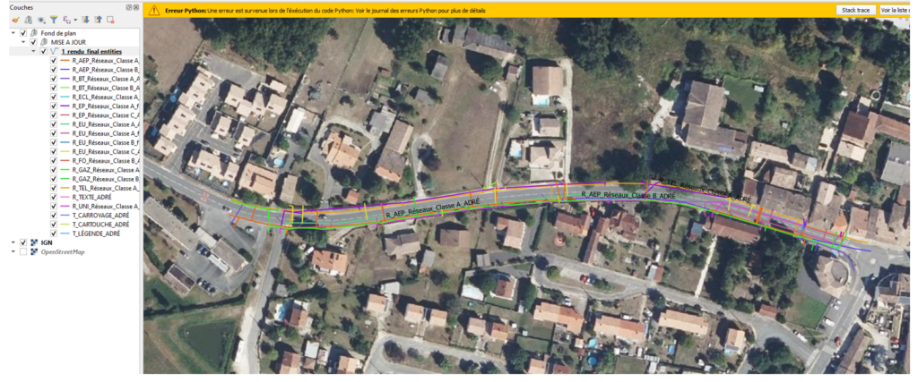
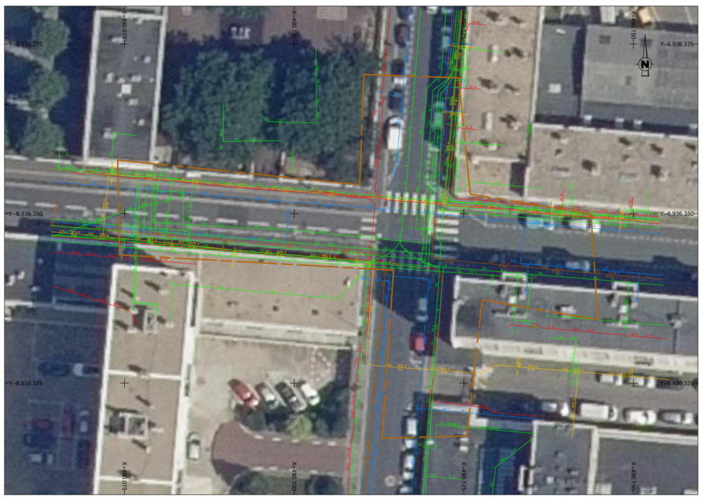
- Creation of vector layers: road, building, plot, network, etc.
- Structuring of data (layers, attributes, name, identifier, etc.)
- Export of files in the desired formats (shp, kml, dxf...)
For a basic formula of 30€, I will make a simple tracing of a layer with a maximum of 100 objects without attributes within 2 days.
Please choose from the list below for additional options
- Basic Pack: Simple tracing of a layer with up to 100 objects without attributes, up to 10 km of total linear
- Standard Pack: multi-layer tracing, up to 3 layers with up to 300 objects and simple attributes, up to 30 km total linear
- Premium Pack: multi-layer tracing, up to 7 layers with up to 1200 objects and custom attributes, up to 100 km total linear
- Custom attribute additions to 50 km of existing layers
- Print-ready GIS map layout, typically associated with areas covering up to 100 km of vectorized network
- Georeferencing of the original raster on a defined coordinate system (UTM, WGS84...), equivalent to an area of 5x5 km (25 km²)
- Integration of layers into a QGIS or structured ArcGIS project, Applicable for projects with up to 100 km of total linear
Are you short on staff or time when you want to work with scanned plans, old maps, PDFs, or raster images that you want to convert into actionable, reliable, and structured GIS vector layers?
Do you need a qualified and serious service provider for your projects, without having to spend an excessive budget?
To obtain quality work, I am ready to take charge of the realization of your plan and project at an unbeatable price and in record time!
Attentive, responsive, and solution-oriented, I accompany you every step of the way.
With my GIS skills, I can help you create accurate and detailed plans for your projects. Whether it's a basic plan, a thematic plan, a development plan or an urban planning plan, I am here to help you make your design a reality.
As a service, I offer:
- Trace from your raster files (JPEG, PNG, PDF, TIFF, etc.)
- Creation of vector layers: road, building, plot, network, etc.
- Structuring of data (layers, attributes, name, identifier, etc.)
- Export of files in the desired formats (shp, kml, dxf...)
For a basic formula of 30€, I will make a simple tracing of a layer with a maximum of 100 objects without attributes within 2 days.
Please choose from the list below for additional options
- Basic Pack: Simple tracing of a layer with up to 100 objects without attributes, up to 10 km of total linear
- Standard Pack: multi-layer tracing, up to 3 layers with up to 300 objects and simple attributes, up to 30 km total linear
- Premium Pack: multi-layer tracing, up to 7 layers with up to 1200 objects and custom attributes, up to 100 km total linear
- Custom attribute additions to 50 km of existing layers
- Print-ready GIS map layout, typically associated with areas covering up to 100 km of vectorized network
- Georeferencing of the original raster on a defined coordinate system (UTM, WGS84...), equivalent to an area of 5x5 km (25 km²)
- Integration of layers into a QGIS or structured ArcGIS project, Applicable for projects with up to 100 km of total linear
🖼️
Pictures
⭐
Reviews
Please sign in as a customer to give your feedback
💬
No reviews yet.
Be the first to share your experience with this professional.